| |
| home |
| map |
| gps downloads |
| contact |
| disclaimer |
| photos |
| PAPER DOWNLOADS | ||||||
|
Downloads for looking at and printing This is the route in .pdf format
This route in Word .doc format
Downloads for uploading
This is the .gpx .zip route.
You need to download the .gpx file in .zip format and unzip it. If you need any other format download GPSBABEL and
convert the file you have downloaded. Once the route file is saved to a directory on your computer you can then load it into your GPS or
onto mapping software.
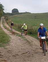
This is a photo album of pictures taken along the route to help with directions. The pics are in the order of the route.
|
Find us on Facebook Facebook WHAT? WHEN? WHERE? WHY? HOW? |
||